


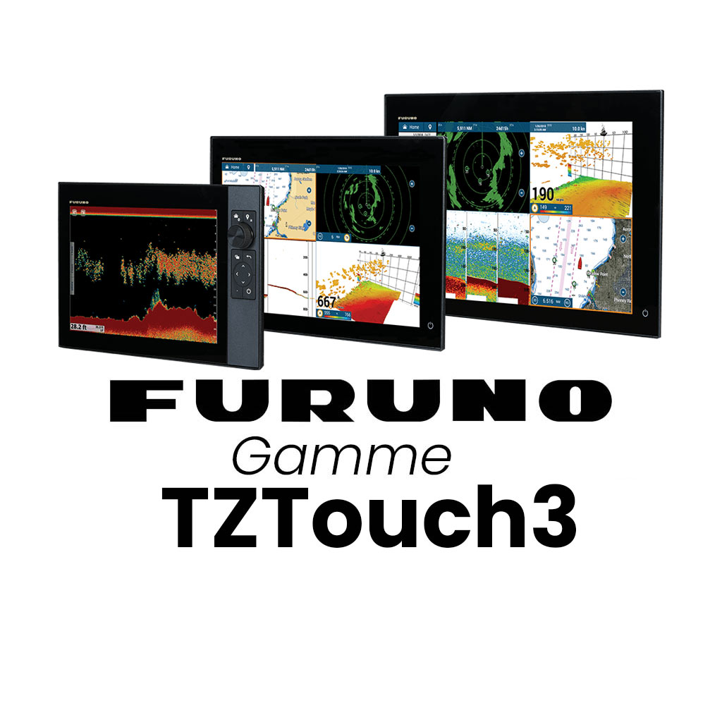
NAVNET TZT3 - FURUNO TZtouch3 range
FURUNO NAVNET TZT3 range
The new NavNet TZT3 multitouch displays, with their edge-to-edge glass screen, refined graphical user interface, GPS, depth sounder and integrated WiFi module, are a pleasure to use. Developed by FURUNO From the NavNet TZtouch2, the TZtouch3 has a new user interface to make it easier to use.
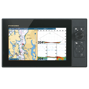
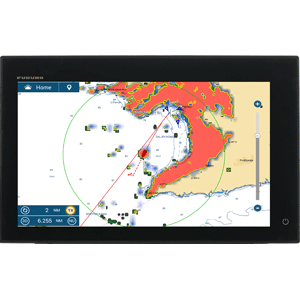
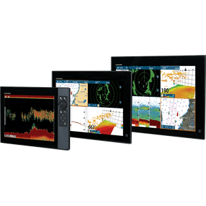
The NavNet TZT3 GPS, CHIRP sounder and integrated wifi multifunction displays are available in 9, 12 and 16-inch versions.

[yotuwp type= »playlist » id= »PLSKua01rOzpn9QNg58BCTn8QE6kXzR2pA » ]

Whether you're looking for fishing spots, plotting a route or using your radar to navigate in fog, you'll be using simple, familiar gestures.
Thanks to its WiFi connectivity, the NavNet TZT3 provides free access to real-time weather data, Community Charts, Cloud data services and more...
View information from your NavNet TZtouch3 and control it on your iOS ™ and Android devices.
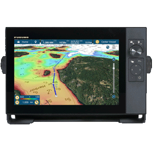
The NavNet TZtouch is the only map reader on the market that offers users a choice of official NOAA raster or vector maps, "C-Map by Jeppesen" and "Datacore by Navionics" vector maps. You can load the satellite photo areas of your choice in ultra-high resolution. Thanks to PhotoFusionTM , the photo is at 100% intensity over land areas and as the depth increases, the photo becomes transparent. This allows you to accurately distinguish the different depth zones from the raster or vector mapping below.


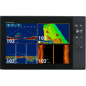
An integrated sounder with new technology: RezBoost™: Separation of echoes close to the bottom and discrimination between each echo are improved. This technology simplifies the discrimination of individual echoes in a school of fish and allows you to distinguish alvins from predators. As this new technology is based on a technological advance in software, you can use standard probes already installed on your boat.
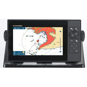
By connecting the appropriate Furuno sensors you gain access to various functions: Depth Nuance, PhotoFusion™ Satellite, AIS target tracking, Radar-Cartography Overlay, ARPA target tracking, Auto Digital Gain and Clutter Filter Control, Real-time Dual Scale Radar with Progressive Scan, ACCU-FISH™ (Fish Size Analysis), Bottom Discrimination....
Common features :
- MapMedia MM3D cartography in Raster and/or Vector format
- Integrated WI-FI
- Rezboost integrated depth sounder
- Tightness IP56
- Flushmount installation - optional bracket
- Fusion Link Ethernet Nmea 2000
- 12-24 VDC power supply